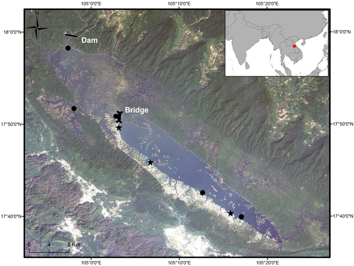
Fig. 1

Download original image
Map of the Nam Theun 2 Reservoir in Lao PDR at its higher level and localization of sampling site by experimental gillnet fishing (black dots) and the three sampled villages by fish landings (black stars).
Carte du réservoir de Nam Theun 2 au Laos à son niveau maximal de remplissage et localisation des sites d’échantillonnage par pêche expérimentale (point noir) et des villages échantillonnés par le suivi des débarquements (étoile noire).
Current usage metrics show cumulative count of Article Views (full-text article views including HTML views, PDF and ePub downloads, according to the available data) and Abstracts Views on Vision4Press platform.
Data correspond to usage on the plateform after 2015. The current usage metrics is available 48-96 hours after online publication and is updated daily on week days.
Initial download of the metrics may take a while.


